WHAT IS PHOTOGRAMMETRY?
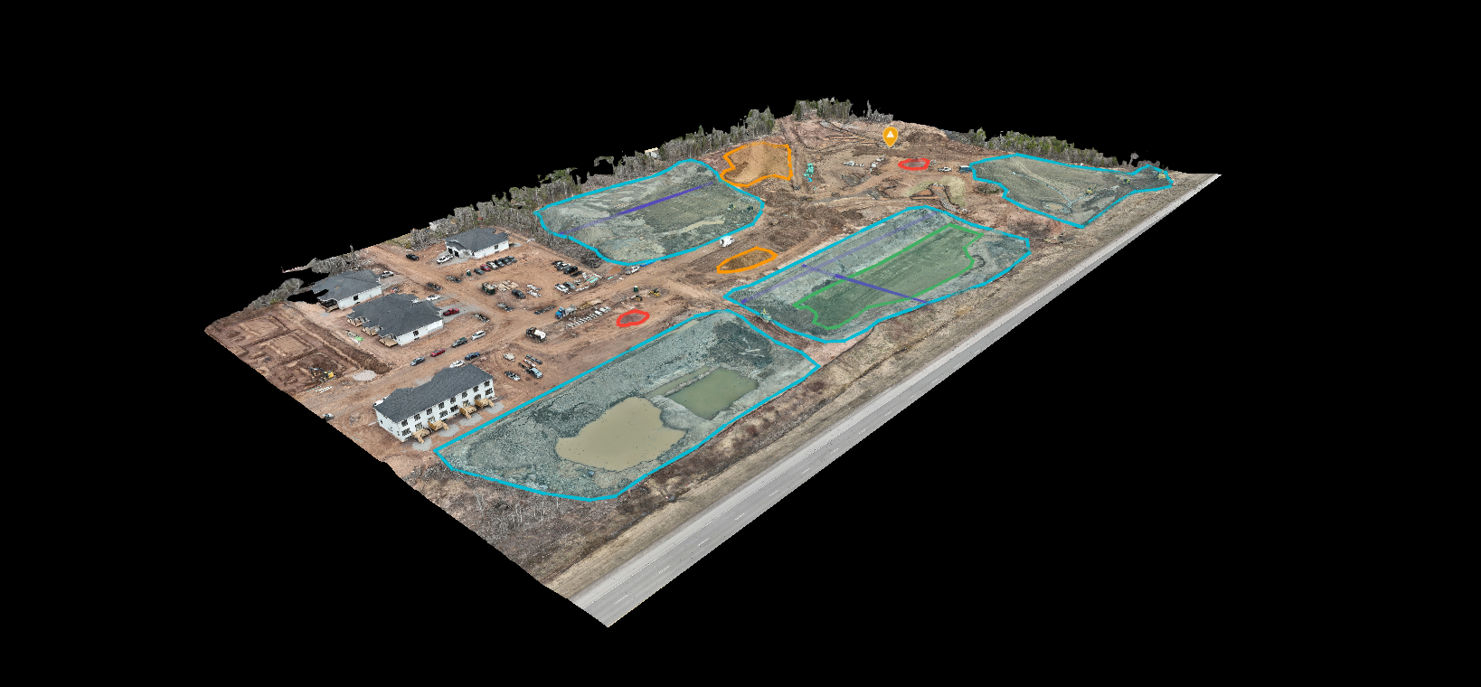
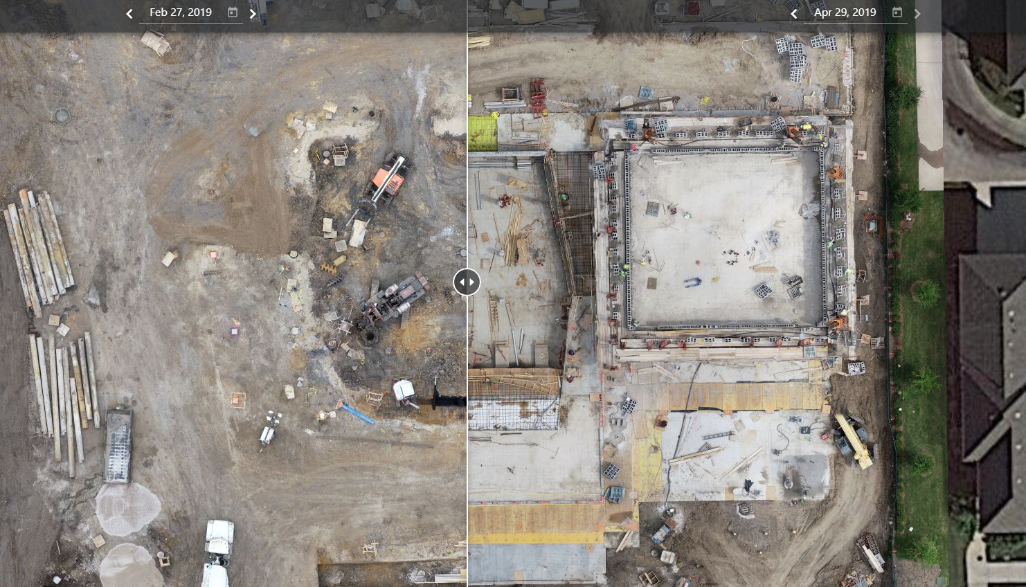
Drone photogrammetry is a cutting-edge technique used to create highly detailed 2D and 3D maps of an area by capturing a large number of overlapping aerial images. The images are then processed using specialized software to produce accurate, detailed maps that provide valuable insights and information about the terrain, structures, and features of the area.
Drone photogrammetry is a powerful tool for a variety of applications, including land surveying, construction site mapping, and environmental monitoring. With drone photogrammetry, you can gain a comprehensive understanding of your project site, make informed decisions, and ultimately save time and money on your project.
HOW CAN PHOTOGRAMMETRY HELP YOU?
✔ INSPECTIONS
✔ PLANNING & MONITORING
✔ MARKETING & PROMOTION
✔ CONSTRUCTION & INFRASTRUCTURE
✔ RESEARCH
✔ ENVIRONMENTAL
✔ AGRICULTURAL


